250 or 500 acre landscapes
Deer don't stop at property lines, so the analysis looks at the landscape around your pin: ridges, benches, saddles, drainages, cover changes and mapped water.
Terrain-first scouting
Analyze terrain and habitat, choose where to scout, record what you find, and build a clearer picture of the ground.
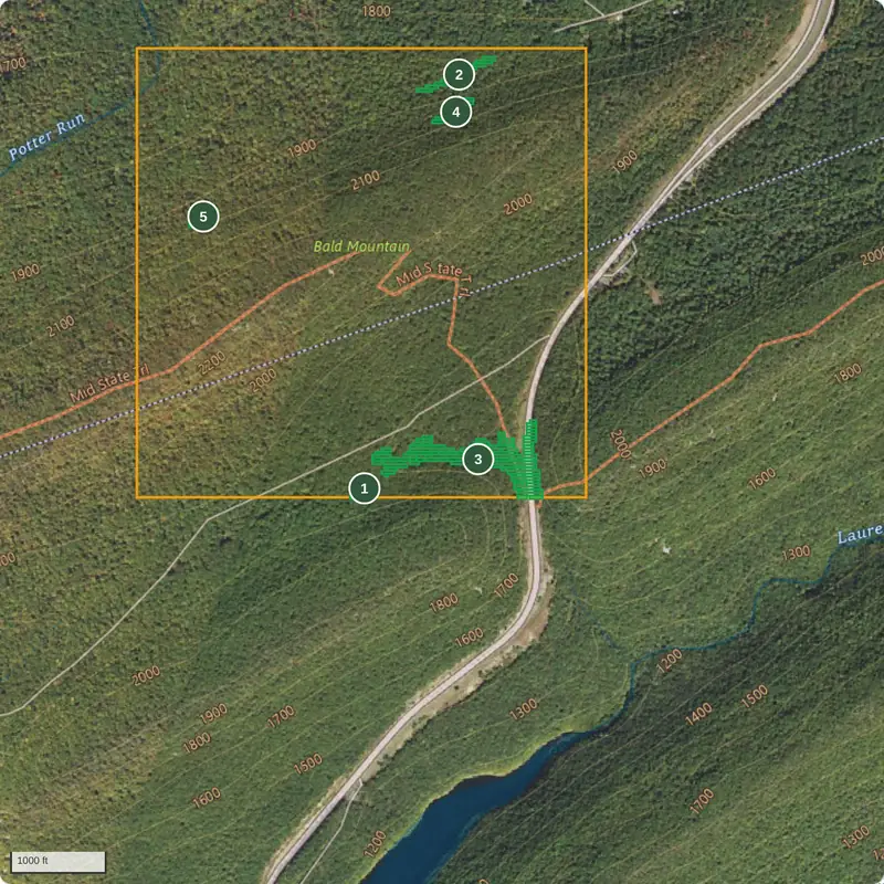
Example analysis · Seven Mountains, Pennsylvania
Mapped features to investigate — not confirmed deer locations.
Basemap: USGS The National Map, Imagery + US Topo (public domain).
Drop a pin or enter GPS coordinates, then choose a 250 or 500 acre landscape around it. No property lines needed.
BuckPattern reads public elevation, land-cover and water maps and suggests up to five numbered search areas — with why, and what to check.
Save a scouting plan, walk it, and record what you actually find. Add trail cameras later if you run them.
Deer don't stop at property lines, so the analysis looks at the landscape around your pin: ridges, benches, saddles, drainages, cover changes and mapped water.
Maps can be old or coarse. Every search area says what to check on the ground, and shows the data it came from. BuckPattern never claims deer are there, and doesn't tell you who owns the land.
If you run trail cameras, add them afterwards. Their photos help confirm what you found on foot.